

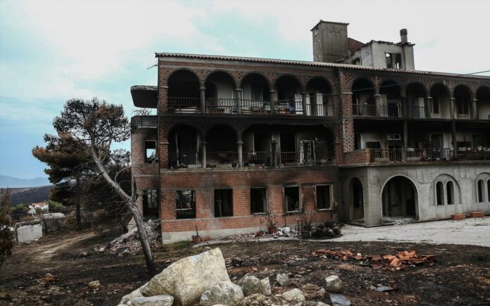
A research institute affiliated with the National Observatory of Athens over the weekend published an updated map pinpointing an assessment of the wildfire-related damage in eastern Attica prefecture, nearly a week after a deadly blaze devastated a pine-covered coastal tract dotted with holiday homes.
So far, the extent of scorched land reaches 1,260 hectares
The institute has relied satellite images (Worldview-3), drones and other UAVs to pinpoint and assess the damage.